|
|
GeoAstro Applets |
Astronomy |
Chaos Game |
Java |
Miscel- laneous |
Physics Quiz |
Who is Who ? |
Sky Twilight Compass
| After the last
war the British and Americans became interested flying
across the Arctic. Because of the long twilight of
high latitudes, no heavenly bodies may be visible for
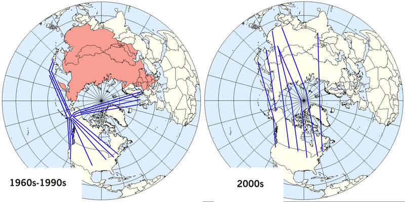
direction or position checks for an extensive period. New instruments had to be invented and new techniques to be developed. The Pfund Sky-Compass (1948) is one of the most important inventions in this field, for it enables the navigator to measure the direction of the sun and to take course corrections from the sun when even it is below the horizon, by means of the polarized light in the sky. The Greenwich Grid system and the gyro compass are, of course, the basis of polar navigation, for the magnetic compass is useless over great areas around the North Magnetic Pole. In 1949 non-stop flights from Fairbanks (Alaska) to Oslo (Norway) and from Bardufoss (Northern Norway) to Fairbanks were done. (Polar Route - North-West Passage to make History again: Practical Stages for Commercial Flights by Einar Pedersen) In 1954 Scandinavian Airlines (SAS) began the first scheduled passenger flight between Copenhagen (Denmark) and Los Angeles, the world’s first Polar shortcut, the new route cutting the travel time between California and Scandinavia from 36 hours to 22 hours. SAS made further improvements and used the Sky Compass for many years on their polar flights. Gyro compass receiving its directive force from a gyroscope operated by electric motors.  |
My Sky Compass experiments
